GeoFly Lab welcomes a new eBee X drone for our NSF seagrass mapping project
1 minute read
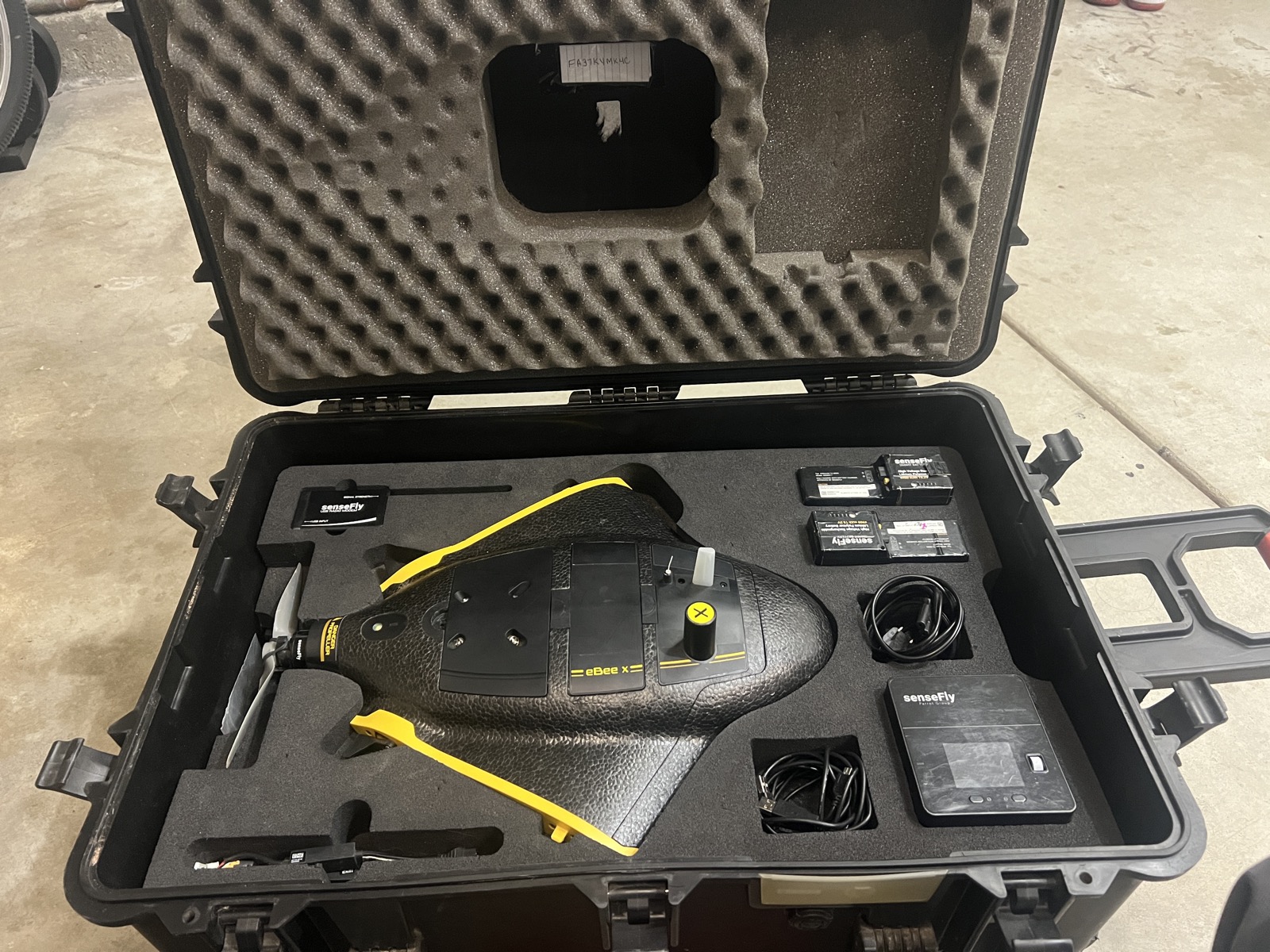
GeoFly Lab has added a new senseFly eBee X fixed-wing drone to support our NSF-funded seagrass mapping work.
The eBee X is well-suited for coastal field campaigns because it can cover large areas efficiently and deliver high-resolution imagery needed to map seagrass extent, patchiness, and change over time. Combined with our field observations and GIS workflows, this platform helps us produce consistent, repeatable maps across sites and seasons.
In upcoming surveys, the eBee X will be used to collect imagery that supports:
- Seagrass habitat mapping at high spatial resolution
- Change detection across repeated flights
- Project-wide consistency for multi-site NSF fieldwork
More updates soon as we put the new platform into the air.